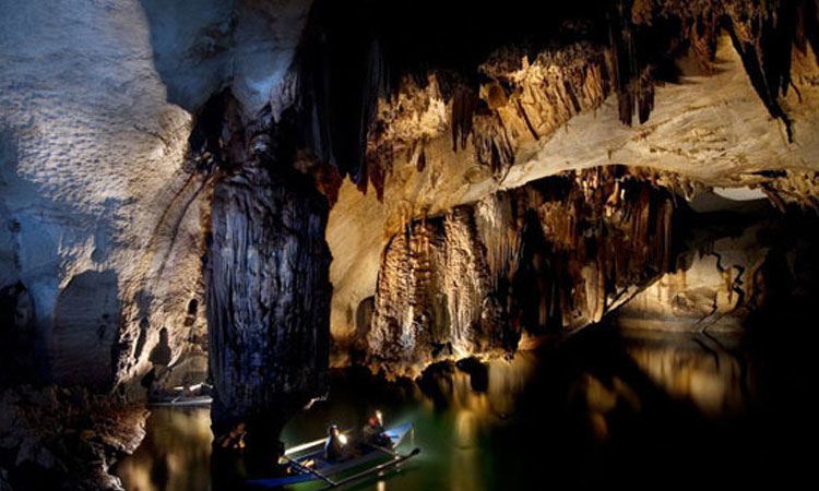
There is an obscure corner of the Earth that sends explorers out into the world..

Karl Kraus, 1909

Follow us on

Latest news from our blog

  • Default
  • Title
  • Date
  • Random
load more hold SHIFT key to load all load all

The real voyage of discovery consists not in seeking new landscapes, but in having new eyes. 

Marcel proust

The word tepui means "house of the gods" in the native tongue of the “Pemon”, the indigenous people who inhabit the Gran Sabana, in northern Amazon. This term indicates table-top mountains located in the north-east side of the Amazon forest.

Tepuis are unique mountains: square-shaped, wide summit surface limited by high vertical walls. Due to strong erosion some tepuis have the shape of huge isolated towers, up to 1000 m high. The landscape can resemble the Dolomites, though the dark colour of rocks and the thick vegetation surrounding them are absolute distinctive features.
Amongst the most outstanding tepuis the Auyan Tepui is one of the most famous one, on the border of Venezuela, Brazil and Guyana, due to the fact that here is the source of Angel Falls (Salto Angel), the world's highest waterfall, almost 1000 m high. Its surface exceeds 700 km2 and was our first target of explorations in 1993 and 1996.
Tepuis are wonderful mountains, often cloaked by clouds and mist. Rains are very frequent and waterfalls draw up an extraordinary and unique landscape. These mountains are the setting of Arthur Conan Doyle’s famous novel “The Lost World”. The author imagined a world that had not changed for 10 million years, where dinosaurs and Mesozoic plants survived. There seem to be no dinosaurs, but for sure the flora is one of the most incredible of our planet. Tepuis are the home of a unique array of endemic plant and animal species, some of which have not yet been catalogued. Each Tepui has distinctive features and is isolated from others by steep rock walls.

All our explorations

  • Tepui: Explorations at the gates of time Amazonas, border with Brazil and Venezuela - Research on the plateaus of the Amazon basin, through ancient caves, vertiginous walls and impenetrable forests. Geographical
    Read More
  • Palawan, Philippines - The research in the large subterranean estuary of Palawan Island, among long dark lakes, plentiful biology and tropical forests. Geographical area: the island of Palawan, southern-western Philippines, a
    Read More
  • PATAGONIA: GLACIER HYPER-KARST AND EXTINCT POPULATIONSExplorations between crystallized vortices of the Hielo Continental and lost populations.South America is a strip of land that juts out into the vast Southern Ocean,
    Read More
  • SAMARKAND: GIANT REEFS IN A SEA OF SANDExplorations in the deepest caves of Asia, on giant peaks of the Pamir-Alaj Mountains, one of the scenes of the collapse of the
    Read More
  • ALPINE GLACIAL KARST: THE SHAPE OF WATER-HOLESExploration project of “water-holes”, cavities created by melting within large glaciers.Our association has worked on glaciers all over the world for over 20 years
    Read More
  • Temples and underground rivers of the distant Myanmar Geographical Area: Indocina peninsula - Myanmar - Shan State, Central-Eastern Myanmar, about 700 km north-east of Yangon. The peninsula of Indochina contains some of
    Read More
load more hold SHIFT key to load all load all

Questo sito o gli strumenti terzi da questo utilizzati si avvalgono di cookie necessari al funzionamento ed utili alle finalità illustrate nella cookie policy. Se vuoi saperne di più o negare il consenso a tutti o ad alcuni cookie, consulta la cookie policy. Cookie policy